These following maps show the procedure of creating frame for the whole map.

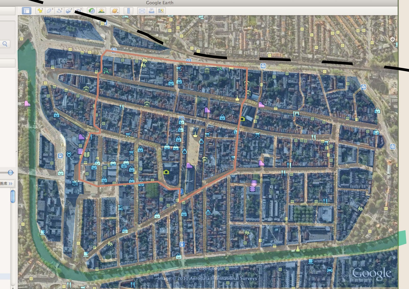
The source comes from Google Map. At the beginning, we regard that main roads should be paid attention. So we only mark main roads in the map with faint yellow. Then we mark the river with pale green and mark the railway with black. To help improtant area catch visitor's attention, we cover important areas semi-transparent blue and cover unimportant frontier area with semi-transparent white. Thus visitors won't be disturbed by the frontier area. Besides, the circle is marked with gray orange. Finally, all shops and museums are marked with icons from Google Map.

Then we use color block to present the map. The blank during blocks stands for main roads. The river, railway and important areas are marked with different colors, while other parts are hidden. Thus the map is clear than the former one.

The circle is marked in this map.


Then shops and museums are marked in the simplified map. The yellow spots represent museums while the blue spots represent shops. We can use these two maps for two versions in our next step design.
 The source comes from Google Map. At the beginning, we regard that main roads should be paid attention. So we only mark main roads in the map with faint yellow. Then we mark the river with pale green and mark the railway with black. To help improtant area catch visitor's attention, we cover important areas semi-transparent blue and cover unimportant frontier area with semi-transparent white. Thus visitors won't be disturbed by the frontier area. Besides, the circle is marked with gray orange. Finally, all shops and museums are marked with icons from Google Map.
 Then we use color block to present the map. The blank during blocks stands for main roads. The river, railway and important areas are marked with different colors, while other parts are hidden. Thus the map is clear than the former one.
 The circle is marked in this map.
 Then shops and museums are marked in the simplified map. The yellow spots represent museums while the blue spots represent shops. We can use these two maps for two versions in our next step design.
No comments:
Post a Comment